Water Navigation — Product 05
A navigation app that routes over water instead of roads.
Ask a phone maps app to get you across a lake and it will happily send you around the shoreline by car. Navi Wake is built on a routing engine that only knows water, charted lake by lake.
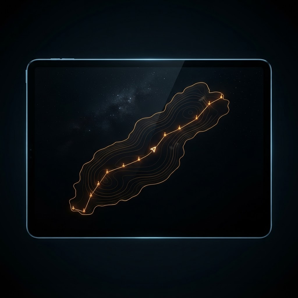
Road maps route you over land. Navi Wake routes you over water — a real navigation engine charted across 38 major lakes with 20,000 nav aids, depth contours, 3D helm guidance, trip planning, float plans, and offline lake packs for when the signal dies mid-lake.
- Water-only routing with 20,000+ charted buoys and nav aids
- Depth contours and drying-area hazards from NOAA charts
- 3D helm view with turn-by-turn and off-route guidance
- Float plans, GPX export, and downloadable offline lake packs
The problem Navi Wake solves
Boaters are stuck choosing between consumer map apps that fundamentally do not understand water and marine chartplotters that are expensive, bolted to one hull, and often out of date. Neither answers the practical questions of a day on the lake: what is the actual route to that cove, where does it get shallow, which buoy am I looking at, and what happens to my navigation when cell service drops in the middle of open water.
How Navi Wake works
Navi Wake charts lakes as navigable water. Routing follows channels and open water rather than roads, with more than 20,000 nav aids and buoys mapped and NOAA depth contours and drying-area hazards layered in. A 3D helm view gives turn-by-turn and off-route guidance at the wheel, trip planning and float plans cover the before and after, and offline lake packs download in advance so losing signal does not mean losing the chart.
Who Navi Wake is built for
Recreational boaters, anglers, watersports crews, rental customers, and anyone running unfamiliar water who wants a real chart instead of a road map.
At a glance
- Category
- Marine navigation application
- Coverage
- 38 major lakes across 22 states
- Nav aids
- 20,000+ charted buoys and navigation aids
- Routing
- Water-only engine following channels and open water
- Depth data
- NOAA depth contours and drying-area hazards
- Guidance
- 3D helm view with turn-by-turn and off-route alerts
- Trip tools
- Trip planning, float plans, and GPX export
- Offline
- Downloadable per-lake packs for no-signal water
Navi Wake questions, answered
01How is this different from using Google Maps on a boat?
Road map apps route over roads. Asked to cross a lake, they will route you around it. Navi Wake runs a water-only engine that follows channels and open water, with buoys, nav aids, and depth data that a road map simply does not carry.
02Which lakes are covered?
38 major lakes across 22 states are charted, with more than 20,000 navigation aids mapped across them.
03Does it work without cell service?
Yes, and that is a core design requirement. You download an offline pack for a lake before you go, so the chart and your position keep working when signal drops in open water.
04Where does the depth information come from?
Depth contours and drying-area hazards are drawn from NOAA chart data, layered onto the lake so you can see where it gets shallow before you find out the hard way.
Other Bright Arc platforms
Need something like Navi Wake for your business?
Every product on this page started as a custom build for one operator. Start with a free operations audit and we will map what your business actually needs.
Get the free audit